Ways of creating land cover maps
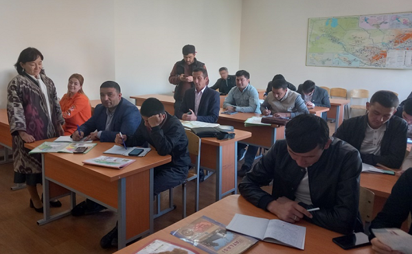
On April 15, 2023 there was organized a master class, where associate Professor O. Rozikulova made a presentation of the topic "Design and compilation of soil maps" to students of “Land Resources and Cadastre” Faculty, “Geodesy and Geoinformatics” Department. To the part time students class there was invited O. Khakberdiev associate professor "Geodesy and Geoinformatics" Department. The soil scientist provided the students extensive and detailed information about the ways of mapping the soil and its properties, methods of field research, zonal distribution of soils in Uzbekistan and the world, measures to prevent their spread to the surroundings due to the influence of the wind and determining the credit rating of the land.
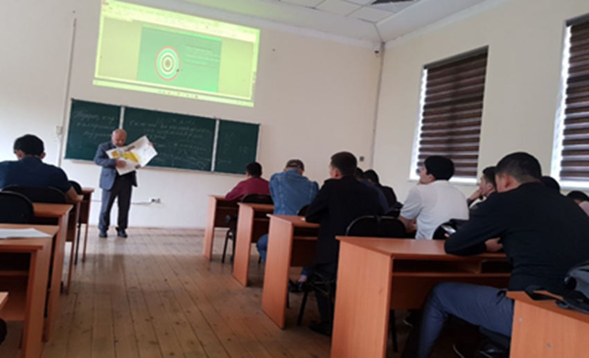
Professors shared their rich experience on the types of soils common in the desert, mountainous and foothill areas of our country and about their protection ways. The study of the soil cover provides important information, which is necessary for solving the problems of the national economy and conducting practical activities. In connection with the rapid development of agriculture, accounting for the amount of land resources and assessing the quality of the land fund are one of the important tasks today. These tasks are solved at the state level or in a particular farm using soil maps of various scales. At the end of the open lesson, students received answers to their questions.
Press Service of National Research University “TIIAME”