Creating climate maps
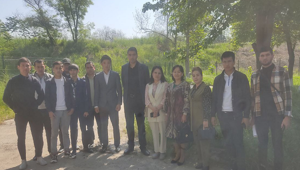
It is important to suggest that on April 20, 2023 on the basis of an agreement 5+1 between manufacturing enterprises and universities, part- time students of 211 and 212 groups, "Geodesy and Geoinformatics" and “Earth remote sensing courses” entered the Main Department of “Hydrometeorology of the Republic of Uzbekistan”.Along with the science of designing and creating natural maps, students could observe the processes of obtaining climate data at existing meteorological posts while creating climate maps.
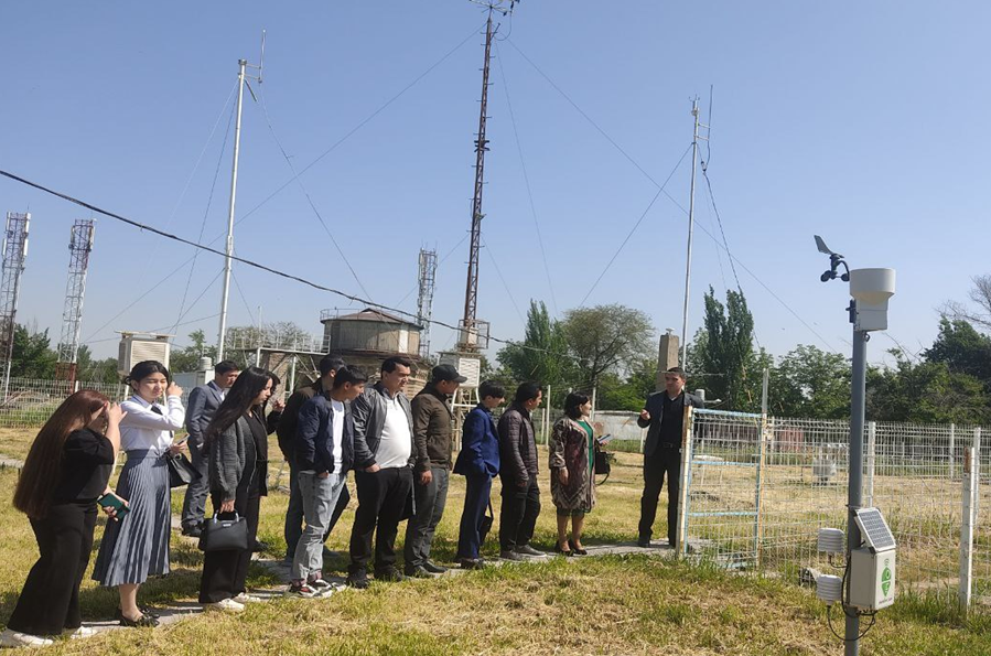
Under the guidance of associate professor candidate of geographical sciences O. Rozikulova, students visited the meteorological station of Tashkent Observatory, which is the absolute highest point in the city of Tashkent, where the attendees could acquire the practical skills in working with meteorological data, such as measuring the direction and strength of the wind, measuring the amount of snow and rain, soil moisture and air temperature. The purpose of the tour was to gain insight into the process of collecting and analyzing data on climate and water by observing the weather station as well as gain insight and understand the topic related issues.
Press Service of National Research University “TIIAME”